Hurricane Polo Raises Flash Flood Threat Across The American Southwest
By Republican Digest Contributor |
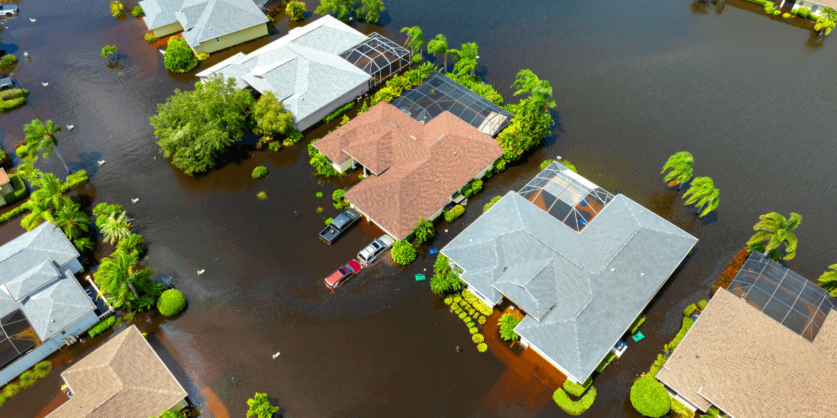
Hurricane Polo sent tropical moisture toward the Southwest on September 28, raising flash flood concerns across several U.S. states.
On September 28, 2026, communities across the American Southwest faced a growing flood threat as tropical moisture associated with Hurricane Polo moved toward the region. While the hurricane itself was approaching Mexico’s Baja California Peninsula, forecasters warned that its moisture would extend far beyond the storm’s center. For parts of New Mexico, Texas, and the broader Southwest, the concern was not a direct hurricane strike. Instead, it was the possibility of heavy rainfall falling on vulnerable terrain and already saturated ground.
The National Hurricane Center reported at 8 a.m. Mountain Standard Time on September 28 that Polo remained a major hurricane, with maximum sustained winds of 115 mph. At that point, the center was about 85 miles west southwest of Cabo San Lazaro, Mexico, and moving northeast at 10 mph. By 8 p.m., Polo was nearing landfall in Baja California Sur with sustained winds still near 115 mph.
Hurricane Polo Sends Tropical Moisture North
For the United States, the main story was the large supply of tropical moisture being carried northward. The National Weather Service office in El Paso said moisture from Polo’s remnants would bring more widespread showers and thunderstorms through Tuesday night. Forecasters expected new rainfall totals around 2 inches across much of southern New Mexico, with localized areas potentially receiving 3 to 4 inches.
That amount of rain can create serious problems in areas where water cannot drain quickly. The Weather Prediction Center placed portions of the Southwest and Four Corners region under a moderate risk of excessive rainfall for September 28. Its forecast called for a widespread 1 to 3 inches of rain in the Four Corners region, where soils in many locations were already near saturation following earlier rainfall.
Flood watches were also in effect. The National Weather Service in Midland and Odessa said a flood watch covered portions of southeast New Mexico and southwest Texas beginning Monday evening. Officials warned that excessive runoff could flood rivers, creeks, streams, urban areas, and other low lying locations.
Why The Flood Threat Matters
The September 28 weather setup demonstrated an important feature of tropical systems: their effects can travel hundreds of miles beyond the coastline where the storm comes ashore. A hurricane does not need to make landfall in the United States to produce dangerous conditions inside the country.
In this case, Polo’s moisture was interacting with a larger weather pattern over the Southwest. The National Weather Service in Midland and Odessa said an upper level system combined with tropical moisture would increase the chances of showers and thunderstorms from Monday night through Wednesday morning across southeast New Mexico and far West Texas. Saturated soils increased concern about flash flooding.
Forecasters were monitoring more than rainfall. On September 28, the National Weather Service Storm Prediction Center said isolated severe thunderstorm wind gusts and a couple of tornadoes could be possible on Tuesday afternoon into early Wednesday from southern and eastern New Mexico into West Texas. The outlook reflected the combination of tropical moisture, atmospheric instability, and changing wind conditions as Polo’s remnants moved northeast.
What Residents Should Know
The most important takeaway is that flash flooding can develop rapidly, particularly in low lying areas, urban drainage zones, mountain terrain, and locations where soils are already saturated. Heavy rainfall upstream can also create hazardous conditions downstream even when rain at a person’s immediate location appears manageable.
Residents in affected areas should follow current National Weather Service forecasts because watches and warnings can change as rainfall develops. A flood watch indicates that flooding is possible, while a flash flood warning signals a more immediate threat requiring attention.
Drivers should also treat flooded roads cautiously. Water can conceal damage, obscure the depth of a roadway, or produce currents strong enough to make travel dangerous. Monitoring official weather information before traveling can help people avoid roads or areas affected by rapidly rising water.
A Storm With Effects Beyond Its Landfall
Hurricane Polo’s approach on September 28 showed why tropical weather deserves attention even far from a storm’s landfall point. The immediate hurricane danger was centered in Mexico, but the storm’s moisture created a separate hazard across portions of the United States.
For Americans in the Southwest, the key issue was straightforward: several rounds of heavy rainfall could create dangerous flooding where the ground was already vulnerable. Staying informed through official forecasts remained the most practical way to understand changing local conditions.

Republican Digest Contributor
This article features partner, contributor, or branded content from a third party. Members of the Republican Digest editorial staff were not involved in the creation of this content. All views and opinions are those of the contributor alone.